Monthly report
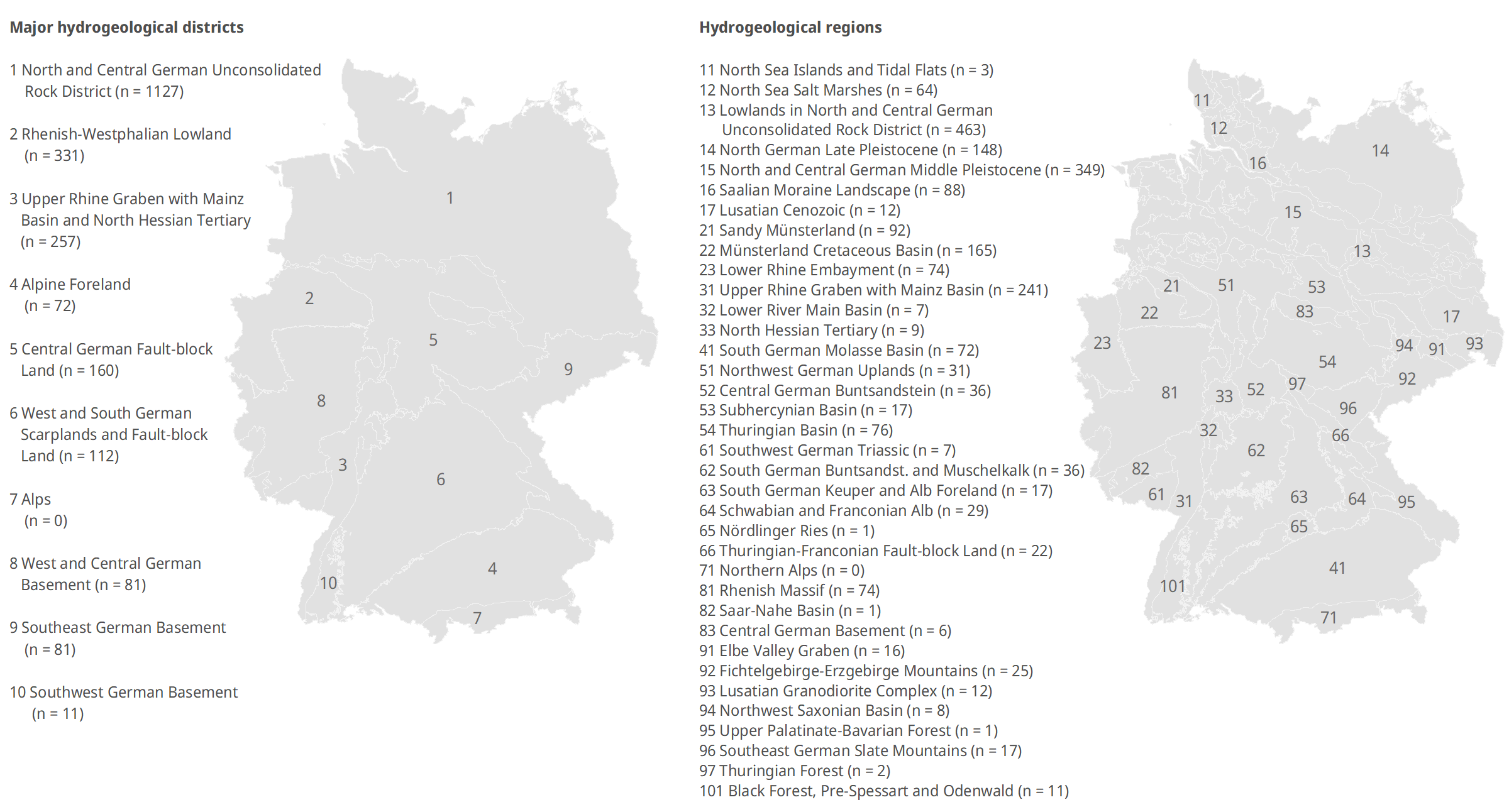
The figures provide an overview of the categories of the predicted groundwater levels at the monitoring sites shown in GRUVO at three levels: all monitoring sites nationwide and on the basis of the major hydrogeological districts and hydrogeological regions of Germany. The categories relate to the reference period 1991-2020, with the groundwater levels of the 30-year reference period divided into five quantiles. This categorisation is then used to classify the groundwater levels for the respective month. The groundwater levels shown are largely modelled, as actual measured values are only available for some reference monitoring sites. As the predictions for each month are slightly shifted compared to the measured data, there is not always a seamless monthly transition in the figures, so the class proportions at the end of the previous month and the beginning of the following month do not always match. Only monitoring sites with a Persistency-Index (PI) > 0 were included in the analysis presented here.